


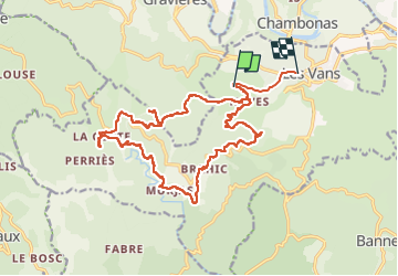


11,9 km | 20 km-effort

Benutzer GUIDE


Kostenlosegpshiking-Anwendung
 SityTrail
IGN / Geografische Institute
SityTrail World
Die Welt öffnet sich für Sie
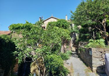
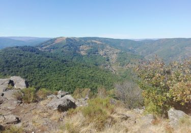
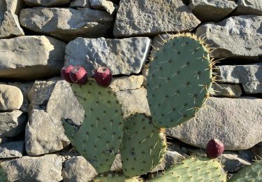
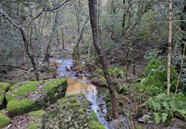
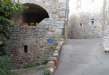
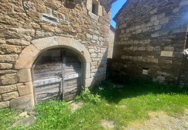
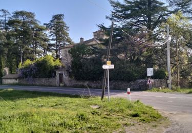
Tour Wandern von 22 km verfügbar auf Auvergne-Rhone-Alpen, Ardèche, Les Vans. Diese Tour wird von nadinebondoux vorgeschlagen.
Très belle rando.
Coin baignade


42 Fotos insgesamt. Klicken Sie auf ein Foto, um sie alle in der Galerie zu sehen.
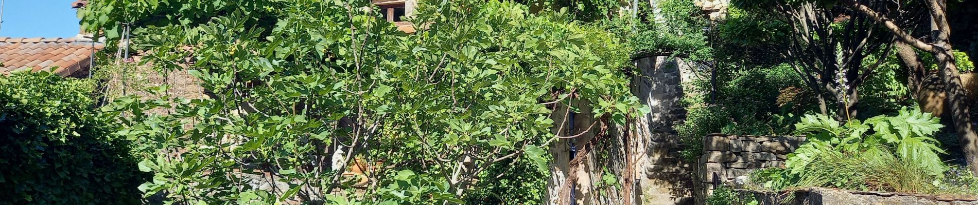
Wandern
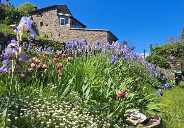
Wandern
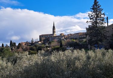
Wandern
Wandern
Wandern
Wandern
Wandern
Wandern
Wandern